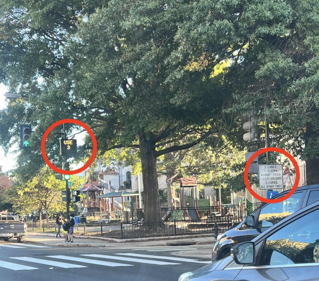
“Dear PoPville,
As a follow up to this one. Going northbound on 16th St in the AM, the electronic signs all say to use 3 lanes while the physical signs all say 2 lanes. I witness a near head-on collision Read More
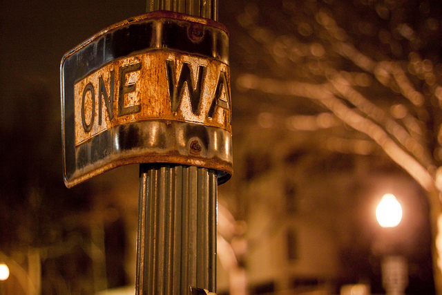
Photo by PoPville flickr user Bossi
“Dear PoPville,
Yesterday morning (Tuesday, December 5), I was waiting to cross 17th Street on the east side of Farragut Square, when a car came barreling northbound from I (already going the wrong way, but traffic is usually light on that block, save for the buses), paused for a moment at K and then continued northbound. There were a number of cars heading southbound, both to the left and the right of this individual, but luckily not in their lane. I’m surprised he didn’t hit anyone and truly sorry I didn’t record this on my phone. The car turned around about two-thirds of the way up the block and maybe parked, I’m not sure. By that time I had my walk signal and crossed.
This is not the first time I’ve seen someone try to go northbound on 17th in the morning. I’ve seen cars trying to turn from westbound K onto 17th from the service lane. The signage is hard to see. I wonder if there should be larger, illuminated signs hanging from the wires with the traffic lights or an illuminated signal to indicate no turns onto 17th. I’m really worried there will be an accident one day.
Is there anyone to whose attention you can bring this?”
Paging DDOT, District Department of Transportation, please advise!!
“Dear PoPville,
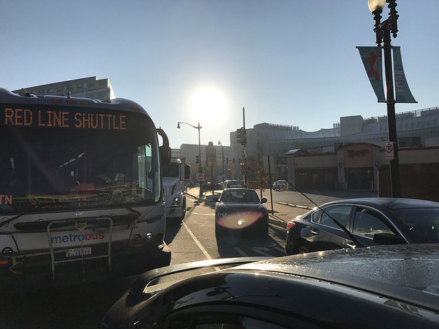
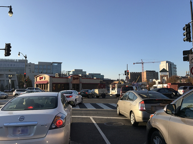
Any chance you have any scuttlebutt on the horrendous traffic circle at FL and NY Ave? With all the red line shuttles coming through for the red line Safe Track, that area has gotten exponentially worse (although I’ve been hoping for the razing of that Wendy’s and improvement of the traffic there for almost 4 years now). I searched your old posts and saw one from 2010 about that intersection, so was wondering about any new developments or if I missed one.”
This circle was profiled for a Dysfunction Junction Vol. 4 but that’s the last heard. Anyone else hear of short term or long term plans to ameliorate the situation?
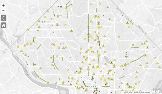
See live map here
From DDOT:
“The District Department of Transportation (DDOT) today unveiled an online tool that will help residents, visitors and businesses view activities that impede pedestrian, cyclist and vehicular traffic in the District.
DDOT’s Public Space Occupancy Map displays existing construction projects, emergency utility work and special events. Icons that represent activities, which temporarily affect public space, show more details when selected, allowing users an opportunity to examine these activities for more information. For instance, the public can view public space permit numbers, and beginning and end dates for a project or special event.”
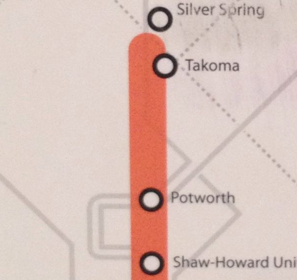
Thanks to @pluscachange for tweeting us the photo:
“Really, @DDOTDC “Potworth”? What are you trying to say?!?”
Ah too good.
This comes from – DDOT to host public meetings for North-South Corridor Planning Study:
“The District Department of Transportation (DDOT)is initiating a planning study to examine opportunities for public transportation improvements in the North-South corridor through the District of Columbia and will host the first round of public meetings starting in November.
The study area is focused on a 9-mile, north-south corridor that connects the Takoma/Silver Spring area to the Buzzard Point/Southwest Waterfront area. The study area extends east-west from about 16th Street on the west to approximately one-quarter mile east of Georgia Avenue. Read More
