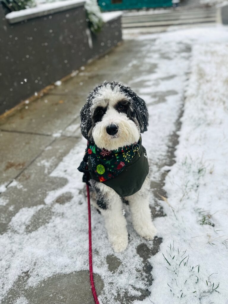
Thanks to CK for sending this morning: “Frozen stiff.”
Note: WHAT THE HELL IS THAT?!?!? Are those, those jumping spider crickets? (more…)


Thanks to CK for sending this morning: “Frozen stiff.”
Note: WHAT THE HELL IS THAT?!?!? Are those, those jumping spider crickets? (more…)
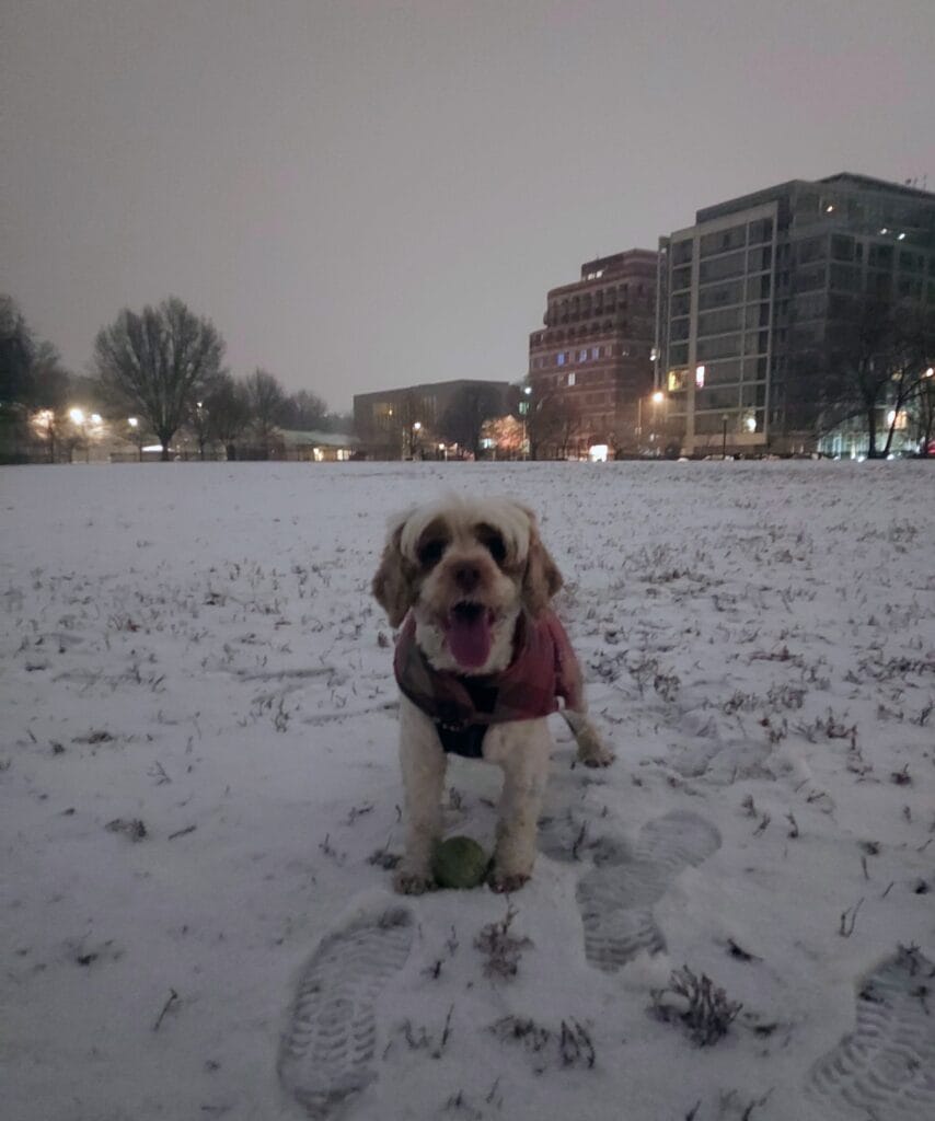
“Ranger from georgetown”
From AlertDC:
“Mayor Bowser has activated an Extreme Cold Alert for the District of Columbia:
WHAT: Daytime temperatures will feel like 15°F or colder. Overnight temperatures will feel like 15°F or colder.
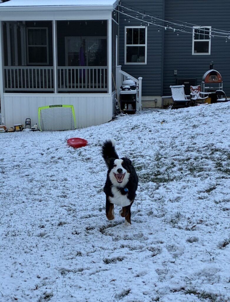
WHEN: 7AM Today to 7AM on 12/15 (more…)

photo by Miki Jourdan
From the Mayor’s Office:
“In advance of snowfall and extreme cold predicted to begin late Saturday night, Mayor Muriel Bowser will deploy the District Snow Team on Saturday, December 13. Brining operations along the National Highway System and on elevated structures will begin Friday, December 12 at 7:00 p.m., and the District Snow Team will begin treating major roadways on Saturday at 5:00 p.m.
According to the latest National Weather Service forecast, the District is expected to receive around two inches of snow starting 10:00 p.m. Saturday night, (more…)
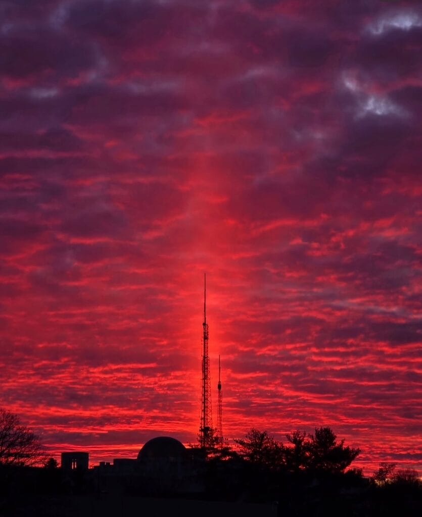
photo by diane.krauthamer
*Friends of the Sunset Society is made possible by readers like you! As always, you can submit your spectacular sunsets to us at [email protected] or via our socials. Thanks!
More magic: (more…)
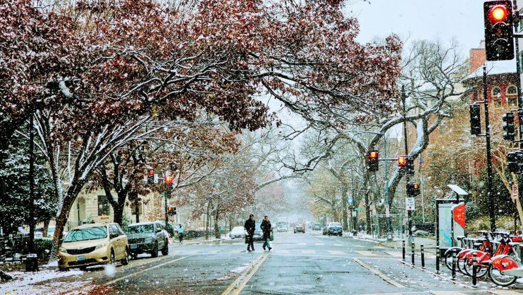
photo by angela n.
“Dear PoPville,
DC is activating cold weather emergency shelters! I saw lots of unhoused folks outside last night and DC hosts a hotline you can call to help get those folks somewhere warm for the night!”
“Last Updated: Tuesday, December 9, 2025 at 7:15 AM ET
Current Alert Status: The District will remain under a COLD ALERT from 9 AM on Tue, 12/9 until 9 AM on Wed, 12/10
Get Help Now: Call the Shelter Hotline at (202) 399-7093 or 311
For cold weather preparedness and winter safety tips, visit ready.dc.gov.
Check back often for updates throughout hypothermia season!
CALLING FOR HELP
During hypothermia season, the Shelter Hotline is available 24/7. If you need help or see someone outside who needs shelter or a welfare check, please call the Shelter Hotline at 202-399-7093 or dial 311. If there is an immediate risk to safety, call 911. When calling, please include the date and time, the address or location, and a description of the person in need. (more…)
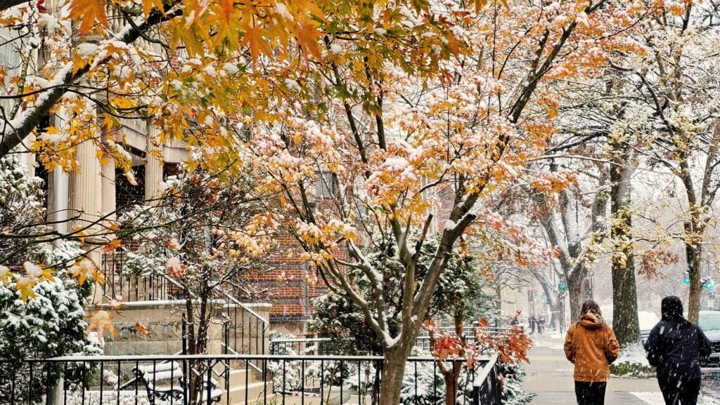
photo by angela n.
From AlertDC:
“NWS has issued a Winter Weather Advisory for District of Columbia from 12/5 7PM until 12/6 1AM.
WHAT: Light freezing rain and drizzle, with a light glaze of ice expected. Very slippery sidewalks, roads and bridges are possible. (more…)
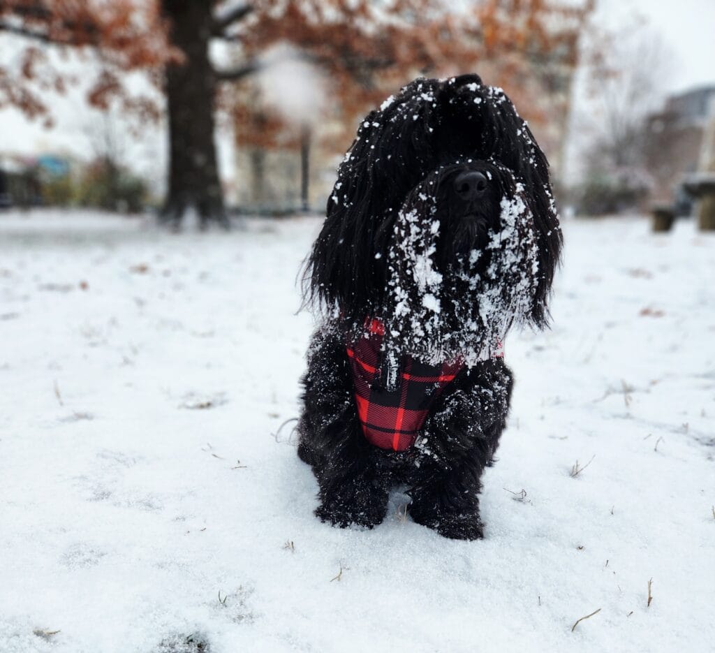
“Rohney on snow patrol in Kalorama Park”
You guys never disappoint. Well in this regard :) So much awesomeness. Scroll for endless joy!!
Below: “Canela was shook to see that it’s actually snowing-snowing lol ❄️☃️ (more…)
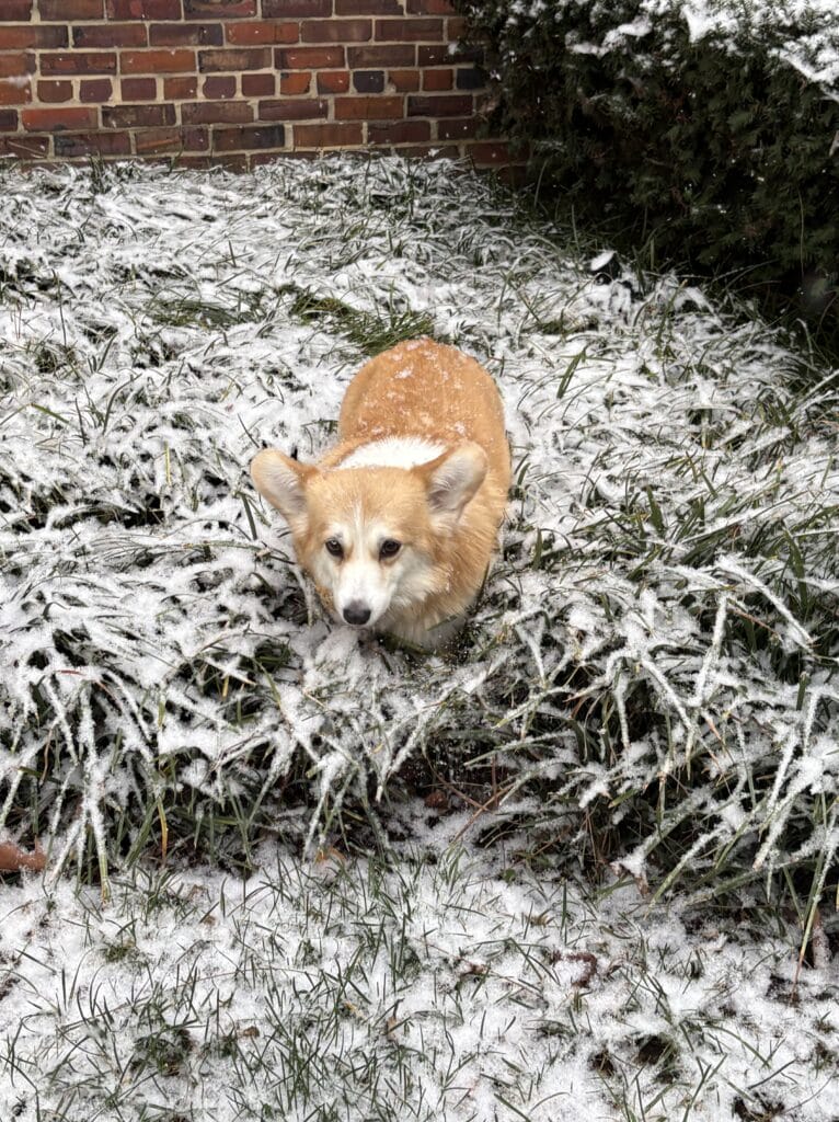
If you have any snow pets you’d like to share please send an email to princeofpetworth(at)gmail(dot)com with ‘Snow Dog’ in the title and say the name of your pet and your neighborhood. If you love this feature and want to ensure PoPville’s long term viability please consider joining Friends of the PoPville Sauntering Society.
“Here’s Darcy (above) in Adams Morgan loving it!”
and Dublin from Trinidad: (more…)
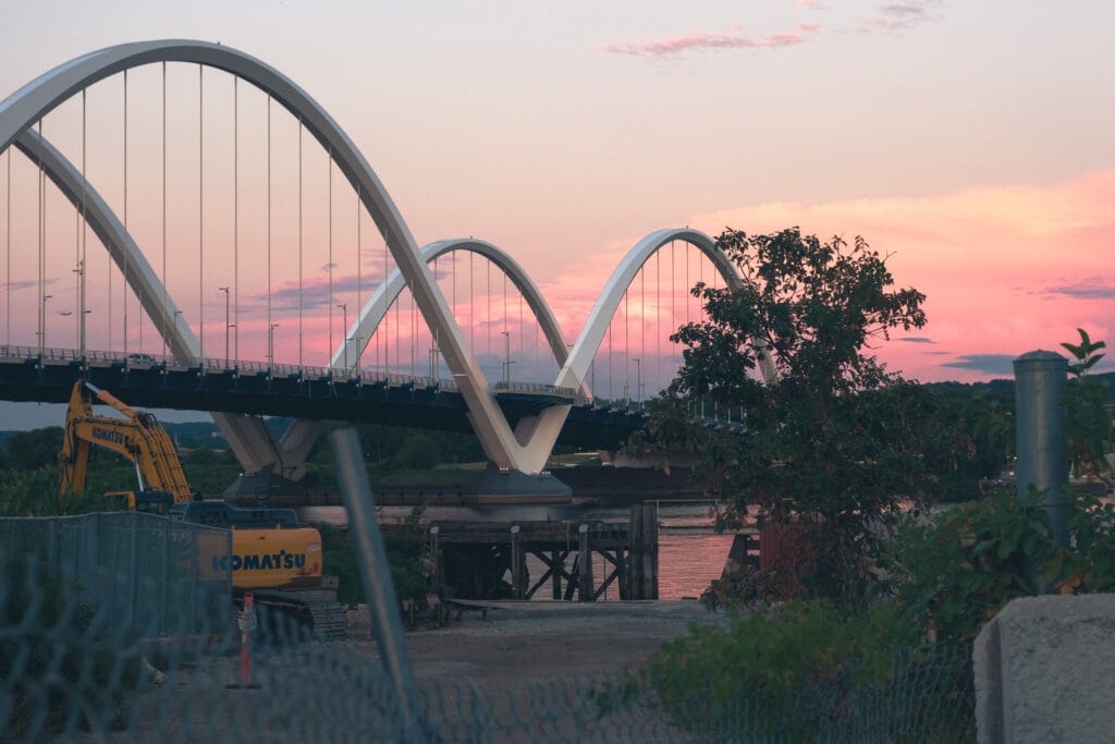
photo by Emma K Alexandra
From Alert DC:
“NWS issues a Winter Weather Advisory for District of Columbia from 4AM until 4PM 12/5.
WHAT: Snow, with accumulation near 1 inch. (more…)