
Thanks to a reader for sending this insanity from Capitol Hill. This is what she returned home to after a two week vacation.
Side note: Silver lining, we have a new category for our summer gardening contest!


Thanks to a reader for sending this insanity from Capitol Hill. This is what she returned home to after a two week vacation.
Side note: Silver lining, we have a new category for our summer gardening contest!
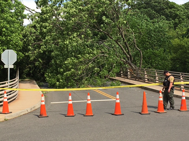
A reader sends after 4pm today from the “car/pedestrian bridge entrance into the zoo”.

Photo by PoPville flickr user Nathan Stewart

Photo by PoPville flickr user Eric P.
PoPville photographers never disappoint!! Thanks to all for uploading/sending such great shots. (more…)

Photo by PoPville flickr user Jarrett Hendrix
From AlertDC:
“The NWS as issued a freeze warning from 12 PM tonight until 10 AM tomorrow morning. A FREEZE WARNING MEANS SUB-FREEZING TEMPERATURES ARE EXPECTED. THESE CONDITIONS WILL KILL SENSITIVE CROPS AND OTHER VEGETATION.
DHS reports that the Hypothermia Alert will be activated at 7:00pm. According to NWS, the current temperature is 48 degrees. Tonight mostly cloudy during the early evening, then gradual clearing, with a low around 27 degrees. Northwest wind 10 to 16 mph, with gusts as high as 24 mph. Chance of precipitation is 60%. Little or no snow accumulation expected.”
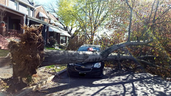
Photo by Phil Yabut
Alert DC warned:
“NWS has issued a high wind warning which is in effect until noon Sunday. Winds West 20 to 30 mph with gusts up to 55 mph. A high wind warning means a damaging wind event is expected. Sustained winds of at least 40 mph or gusts of 58 mph or more will cause tree and property damage. Anticipate power outages. If you live near large trees, remain in a lower level of your home or seek shelter elsewhere if possible.”
Phil wrote:
“Downed tree on 1600 block of D Street NE.”
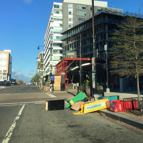
Photo by Jim Havard
Of course that wind was good for the Blossom Kite Festival:

Photo by PoPville flickr user Victoria Pickering

Photo by PoPville flickr user Eric P.
From DPW:
“Mayor Muriel Bowser has directed the DC Snow Team to deploy Saturday, March 19, 2016. The District will deploy more than 100 plows, based on weather reports that call for a weather event starting as rain around mid-day Saturday, possibly mixing with snow Saturday evening then becoming all snow Saturday night into Sunday morning. Sunday’s prediction is for a return to rain then a possible rain/snow mix Sunday evening, ending Sunday night. There is a possibility of one to two inches of snow accumulating on grassy areas and producing slush on roadways, bridges, ramps and colder locations. The overnight low temperature Sunday night into Monday morning may go down to 31F, which could produce icy areas on roadways. Uncertainty remains in the forecast, so the public is asked to monitor weather forecasts and travel cautiously when driving. The Snow Team will not pre-treat because the rain will wash away the brine/beet juice solution.”
Thanks to a reader for sending from Petworth this morning. I imagine after today’s 80 degree we are going to see many more so be sure to email good shots to [email protected], upload to the PoPville flickr pool or tweet to @PoPville. Thanks and enjoy!!

Photo by PoPville flickr user Kevin Wolf
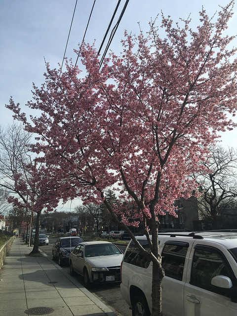
From the National Park Service:
“This week’s unseasonal temps are speeding up the cherry blossoms. Look for peak bloom to now occur March 18-23.”
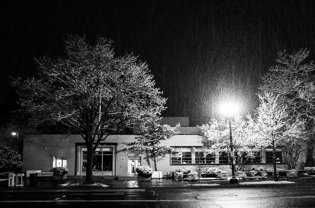
Photo by PoPville flickr user Beau Finley
From Alert DC:
“OPM STATUS for Friday, March 4, 2016: Federal agencies in the Washington, DC area are OPEN. Employees are expected to report to their worksites or begin telework on time. Normal operating procedures are in effect.
The District of Columbia Government will open on time for normal operations on Friday, March 4, 2016.
DC Public Schools will open on time Friday, March 4, 2016.”

Photo by PoPville flickr user Kim
From DPW:
“Mayor Muriel Bowser has directed the DC Snow Team to go into a full deployment Thursday, March 3, 2016. The District will deploy more than 200 plows, based on weather reports that call for a rain/snow mix starting between 9 pm and midnight that will switch to all snow overnight with perhaps one to two inches of snow mainly on grassy surfaces, but some slush could accumulate on bridges and colder locations. Precipitation is expected to end after noon Friday. The Snow Team will not pre-treat because the rain will wash away the brine/beet juice solution. (more…)