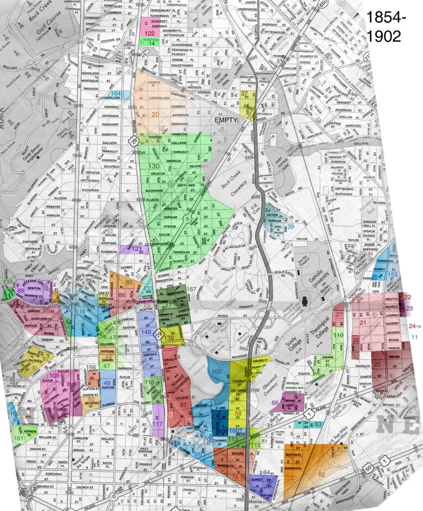
After last week’s discussion and nearly unanimous opposition to the name Tivoli North for parts of 14th Street north of Monroe in Columbia Heights, a reader did some interesting research and found the cool map above.
The reader writes:
“I don’t advocate one way or another for what names people apply to the neighborhoods (though NoMa, Atlas District, and Hill East make me slightly queasy) but I thought it was interesting to see the historical names and dates of the subdivisions. The map is based on data in a study in the journal of the Historical Society of Washington in 2002.
Obviously there are some gaps, such as the neighborhood Red Derby is in. I assume that the areas not highlighted were subdivided after 1902, the end of the study’s time period.
There is no mention of several names we use today — Park View, 16th St. Heights, Crestwood, etc. Someone had questioned if Lanier Heights was real, and it is/was (see #97).
Petworth was one of the first subdivisions laid out in accordance with the street grid of the original city, in anticipation of regulations that would soon require such patterns. At that time it did not extend towards the corner of NH and Missouri Aves.
Brookland was laid out in several stages and surrounded other subdivisions such as Metropolis View (110) and Cuckold’s Delight (11).
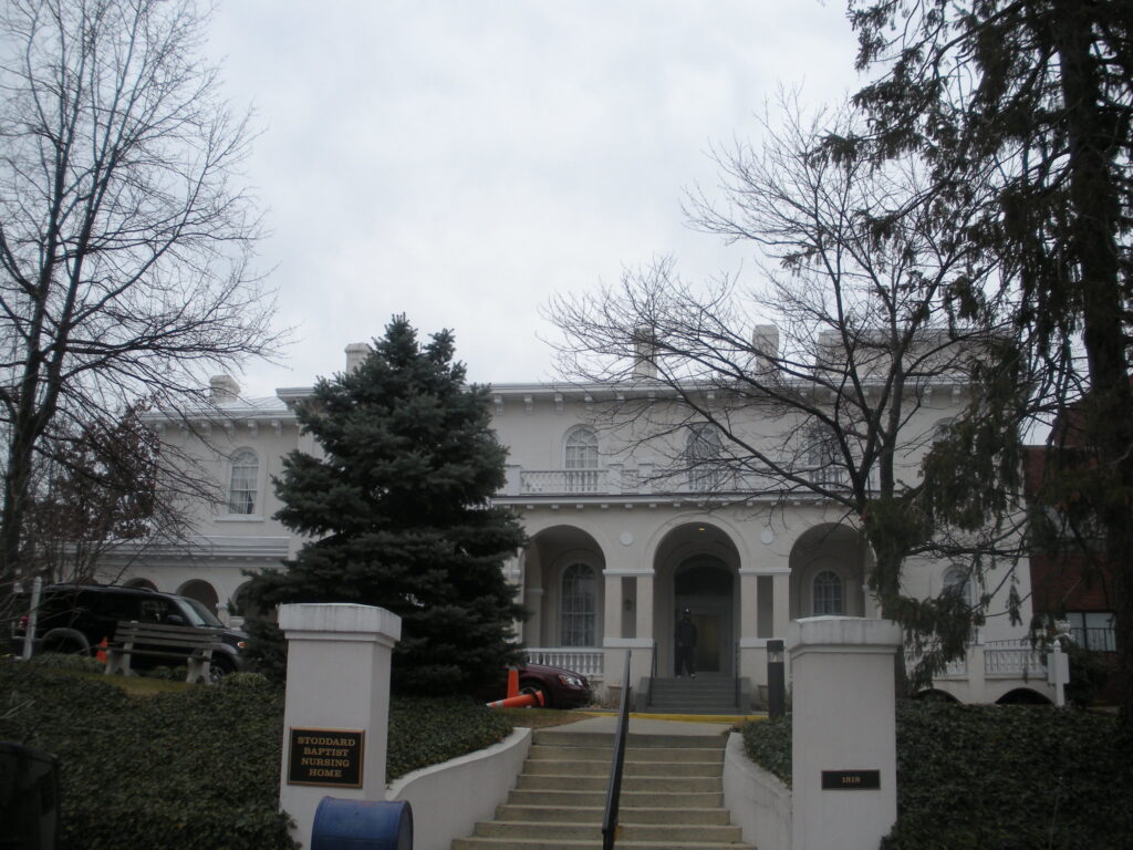
The names Mt. Pleasant and Pleasant Plains were already in use before these subdivisions were laid out. They referred to quite a large area, from Rock Creek Park and Adams Mill in the west, Florida Ave. in the south, Spring Rd. and Rock Creek Church Road in the north, and Park Place and North Capitol Street in the east. I don’t know if there was a clearly defined border between them, but Mt. Pleasant seems to be to the west and south and Pleasant Plains to the north and east. So to say that Pleasant Plains is a part of Columbia Heights is actually reversed; Columbia Heights was created out of part of Pleasant Plains.”
Key to the map:
11. Cuckold’s Delight, 1/21/1890 (Jackson, Irving, Hamlin, Brentwood, 15th, 16th NE)
14. Beale’s Subdivision, 10/30/1901
17. Bellevue, 5/16/1888; part of Pleasant Plains
18. Bloomingdale, 6/17/1889
20. Brightwood Park, 8/27/1890 Continues after the jump. (more…)