
photo by angela n.
From the Smithsonian:
“Due to inclement weather, today, Monday, Mar. 16, Smithsonian museums in the DC area including the National Zoo will close at 2 p.m. ET.”


photo by angela n.
From the Smithsonian:
“Due to inclement weather, today, Monday, Mar. 16, Smithsonian museums in the DC area including the National Zoo will close at 2 p.m. ET.”

photo from our archives, February 2025
From Pepco:
“Pepco is monitoring the forecast closely, and our crews and local contractors are prepared to respond.
What we’re doing: (more…)
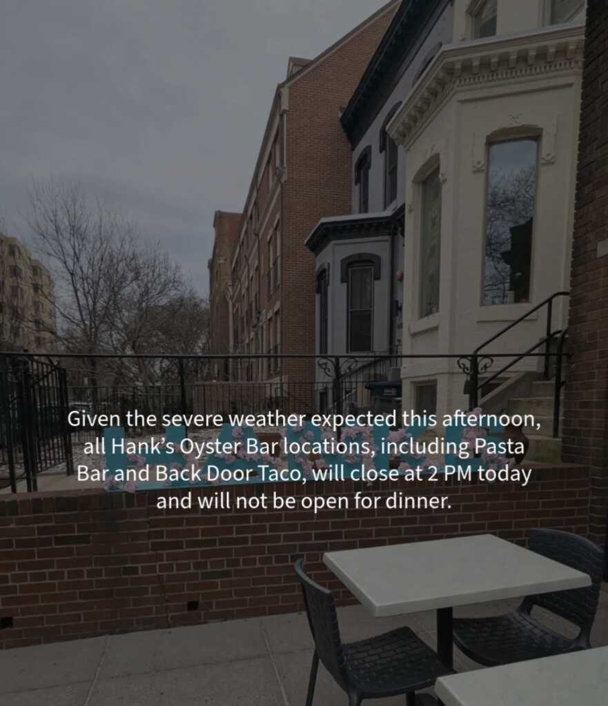
1624 Q Street, NW
From Hank’s:
“Given the severe weather expected this afternoon, all Hank’s Oyster Bar locations, including Pasta Bar and Back Door Taco, will close at 2PM today and will not be open for dinner. (more…)

photo by Matthew Cullen
From OPM:
“Washington, DC Area
Applies to: Monday, March 16, 2026
Status: Early Departure — All Employees Must Depart No Later Than 2:00 PM
Early Departure — All Employees Must Depart No Later Than 2:00 PM (more…)
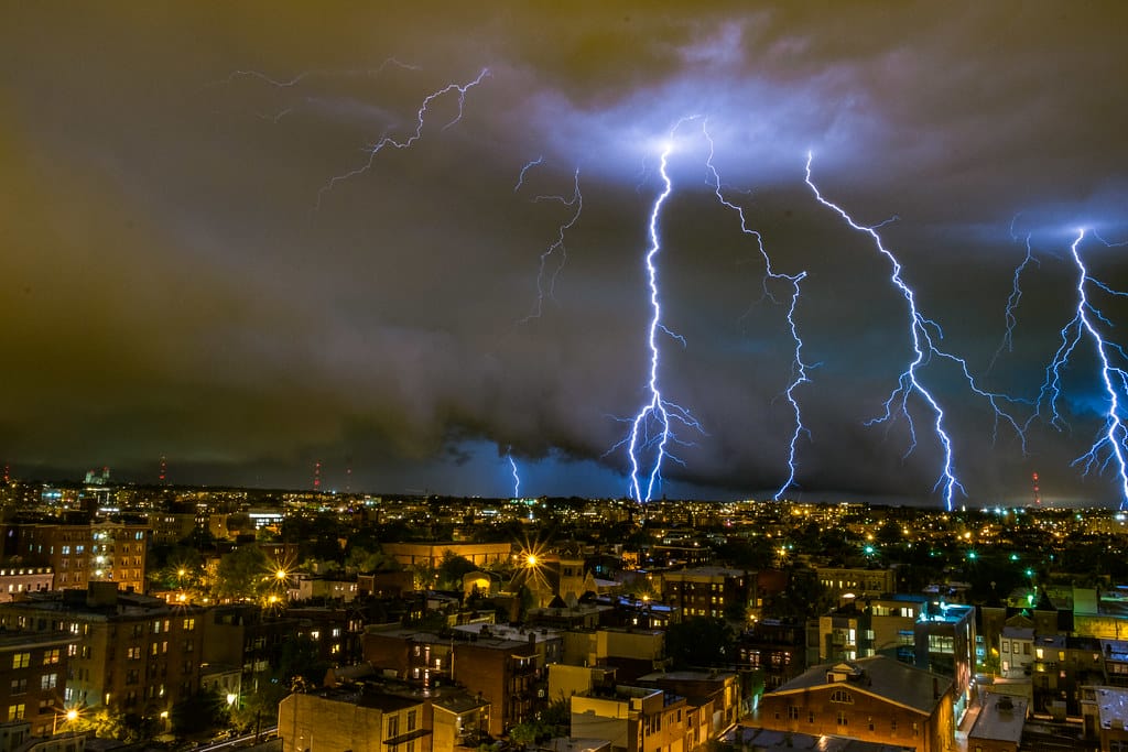
photo by Nathan Stewart
Update from AlertDC:
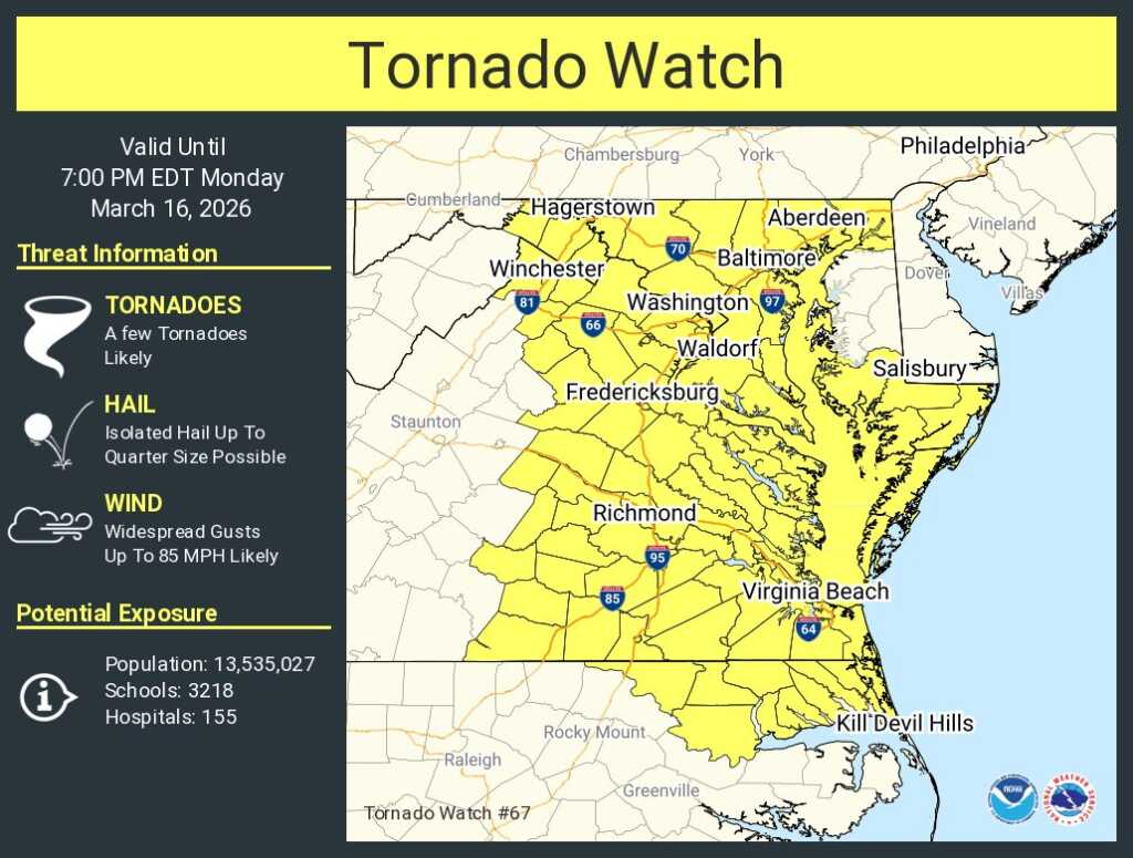
“The National Weather Service has issued a Tornado Watch:
WHERE: District of Columbia
WHEN: Until 7PM Today
IMPACTS: Very strong and dangerous winds may cause downed trees/branches, localized power outages, and damage to homes and buildings.
More Info: See www.weather.gov/lwx for detailed forecast and updates.
A Tornado Watch means that tornadoes are possible in the area.”
From the Mayor’s Office:
“Today, Monday, March 16, Mayor Muriel Bowser is urging residents to take steps now to be prepared and stay safe ahead of severe storms that are expected to impact the District of Columbia this afternoon.
The National Weather Service (NWS) has placed the District under a Moderate Risk of severe weather, an uncommon designation which indicates a high likelihood of severe storm activity that could cause significant impact to infrastructure across the region.
NWS is currently forecasting severe weather that could include damaging wind gusts of up to 80mph, possible tornadoes, and periods of heavy rain that could cause localized flooding. DC is forecasted to receive two storm bands, one from 11:00 a.m. to 2:00 p.m. and another from 4:00 p.m. to 6:00 p.m., with the later storm band expected to be more severe. (more…)
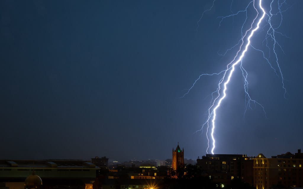
photo by Eric P.
Here’s the latest reports from the National Weather Service this Monday morning:
“Low clouds and passing showers are expected this morning. As these stratus clouds erode & a strong cold front approaches from the west, strong to severe t’storms are expected. The more potent cells could produce 70-80 mph wind gusts & even a few tornadoes.”
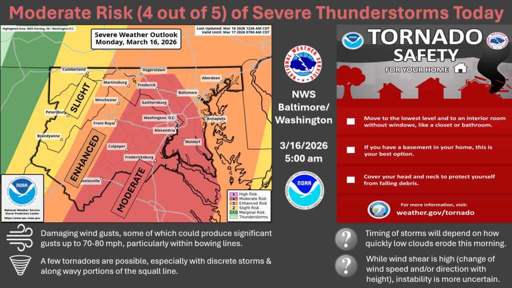
and (more…)

From DC Public Schools:
“DCPS will close all schools two hours early on Monday, March 16 due to forecasted inclement weather. (more…)
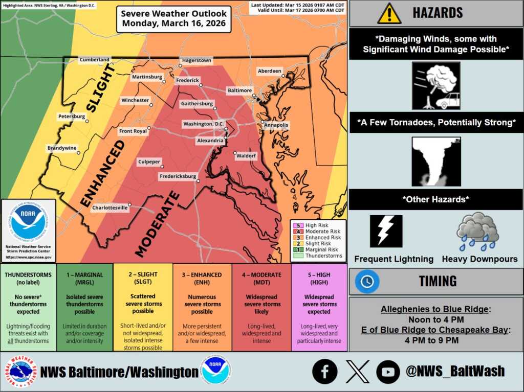
From the National Weather Service (NWS):
“⚠️For Monday, the Storm Prediction Center has upgraded the area to a Moderate Risk of severe t’storms. Damaging winds (some with gusts up to 65-75 mph) and a few tornadoes (locally stronger) are possible.” (more…)
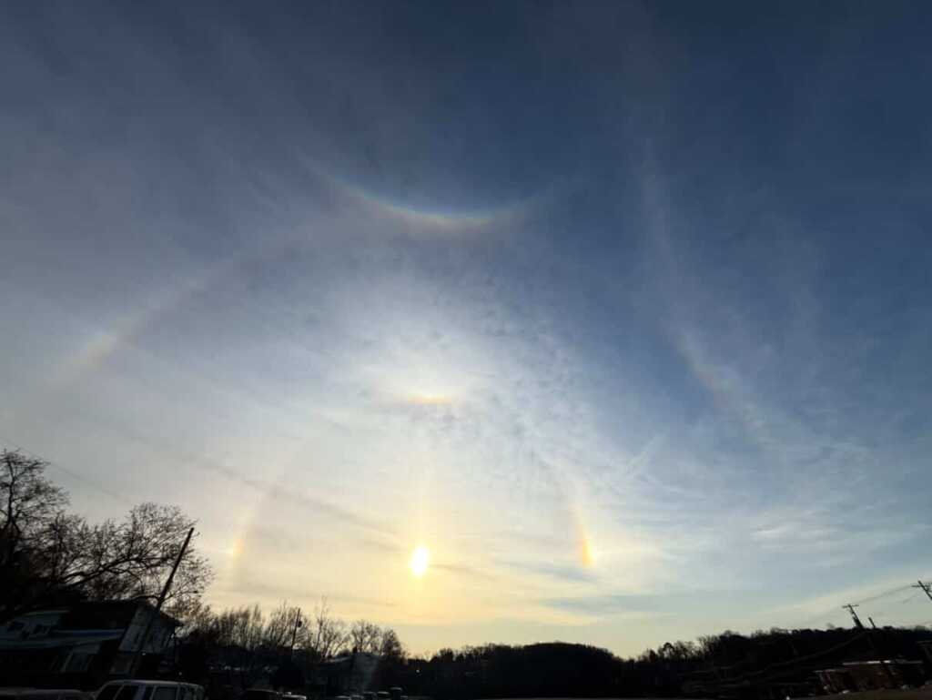
Thanks to Cait for sending above and thanks to Julia for sending below: (more…)

Thanks to Benjamin for sending this happy shot yesterday: (more…)