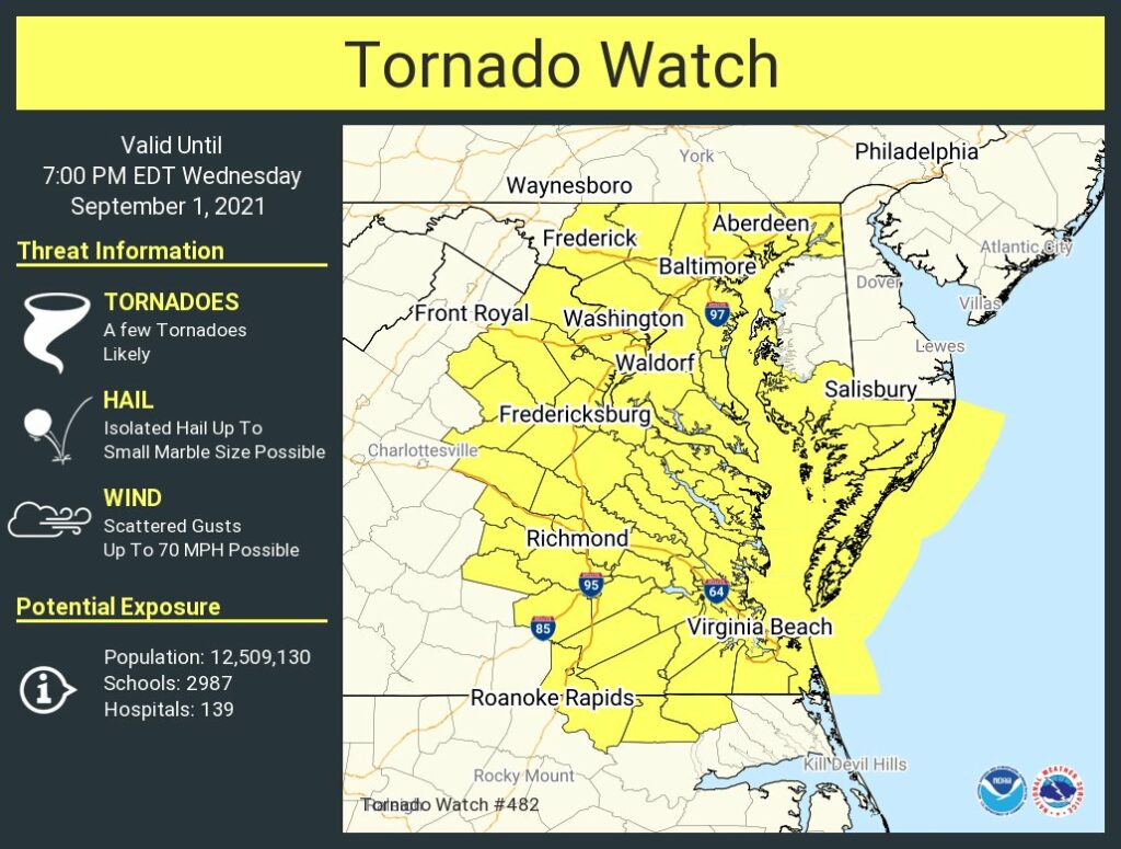
From the National Weather Service:
“A tornado watch has been issued for parts of DC, MD, NC, VA until 7 PM EDT”


From the National Weather Service:
“A tornado watch has been issued for parts of DC, MD, NC, VA until 7 PM EDT”
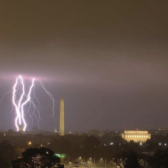
photo by Anupam Anand
everyone in dc is awake right now and you can FEEL IT @PoPville
— emilie frank (@emiliepfrank) September 1, 2021
And more coming. From the National Weather Service:
“Be Weather Aware Today (Wed) & Tonight! Tornado and Flash Flooding Threat. Be ready to act if NWS warnings are issued for your area. Also be aware of ongoing flooding in some locations along the I-95 corridor this A.M. (more…)

photo by Richard Brundage
From the National Weather Service:
“As the remnants of Ida pass overhead Wednesday into Thursday, flooding rainfall is likely over the region which could lead to instances of flash flooding and river flooding. (more…)
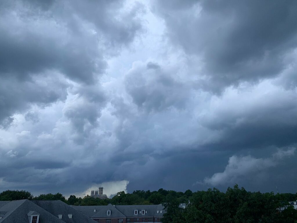
photo by Amy Marrion
From AlertDC:
“The National Weather Service (NWS) in Sterling Virginia has issued a Flash Flood Warning for the District of Columbia, which is in effect until 7:15 PM EDT.
At 4:11 PM EDT, Doppler radar indicated heavy rain due to thunderstorms. Flooding is ongoing or expected to begin shortly in the warned area. Between 1 and 2 inches of rain have fallen.
Some locations will experience flooding. This includes the following flood prone roads: (more…)
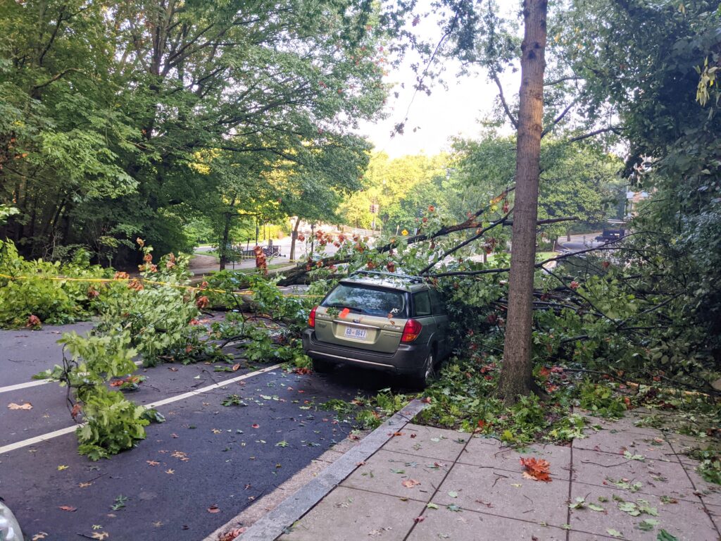
V sends around 8:15am this morning: “Massive tree fell down on two cars at the end of Harvard St NW right by the off ramp from Beach Dr NW by the Zoo.
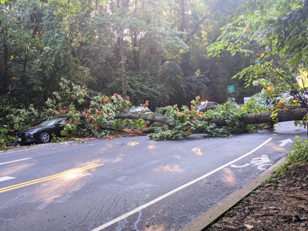
Blocking the entire road to both ways of traffic.” (more…)
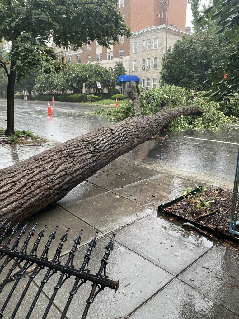
From AlertDC:
“The National Weather Service in Sterling Virginia has issued a Flash Flood Warning for District of Columbia until noon today.
At 755 AM EDT, Doppler radar indicated showers producing heavy rain across the warned area. Between 1 and 1.5 inches of rain have fallen. Additional rainfall amounts of 0.5 to 1.5 inches are possible in the warned area. Flash flooding is ongoing or expected to begin shortly.
HAZARD: Life threatening flash flooding. Showers producing flash flooding.
SOURCE: Radar.
IMPACT: Life threatening flash flooding of creeks and streams, urban areas, highways, streets and underpasses.” (more…)
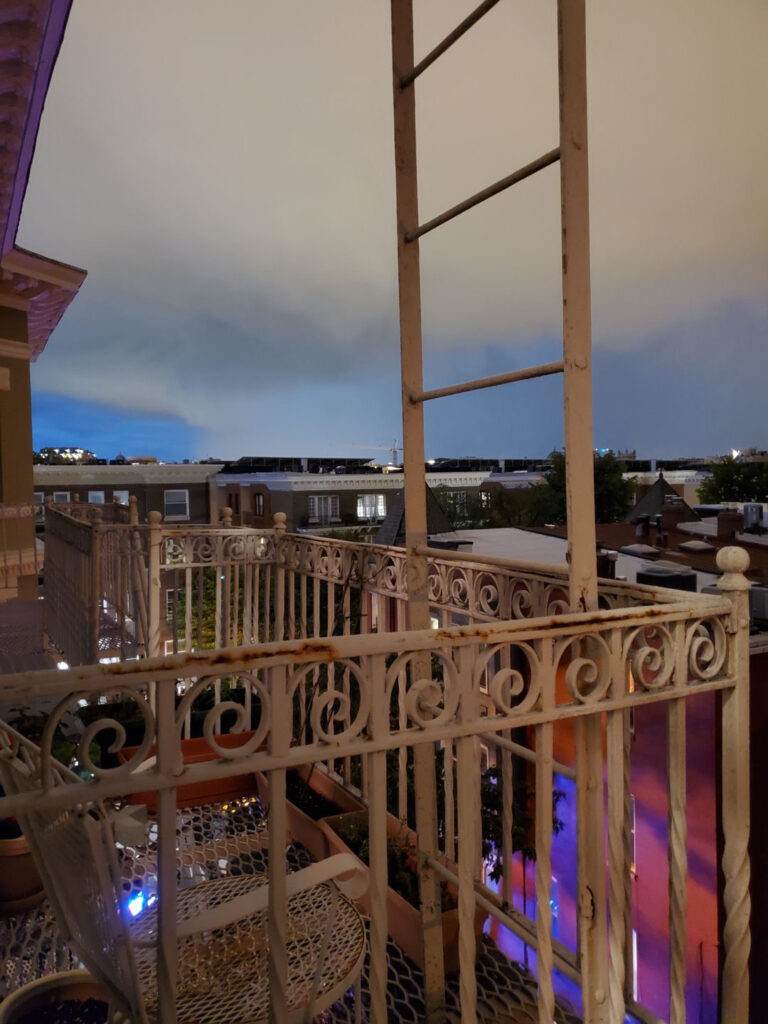
photo by 202annie from the last tornado back in July
From the AlertDC:
“The National Weather Service has issued a Tornado Watch for The District of Columbia until 8:00 PM EDT.” (more…)
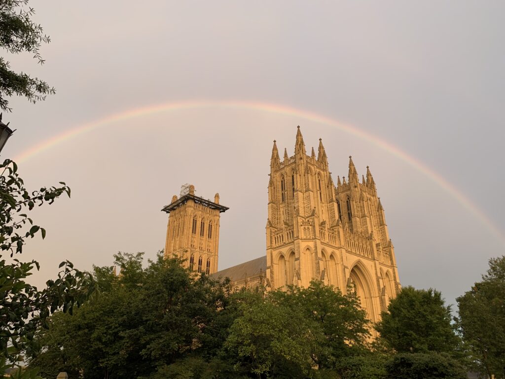
photo by Marshall Bellsdale
Much more awesome: (more…)
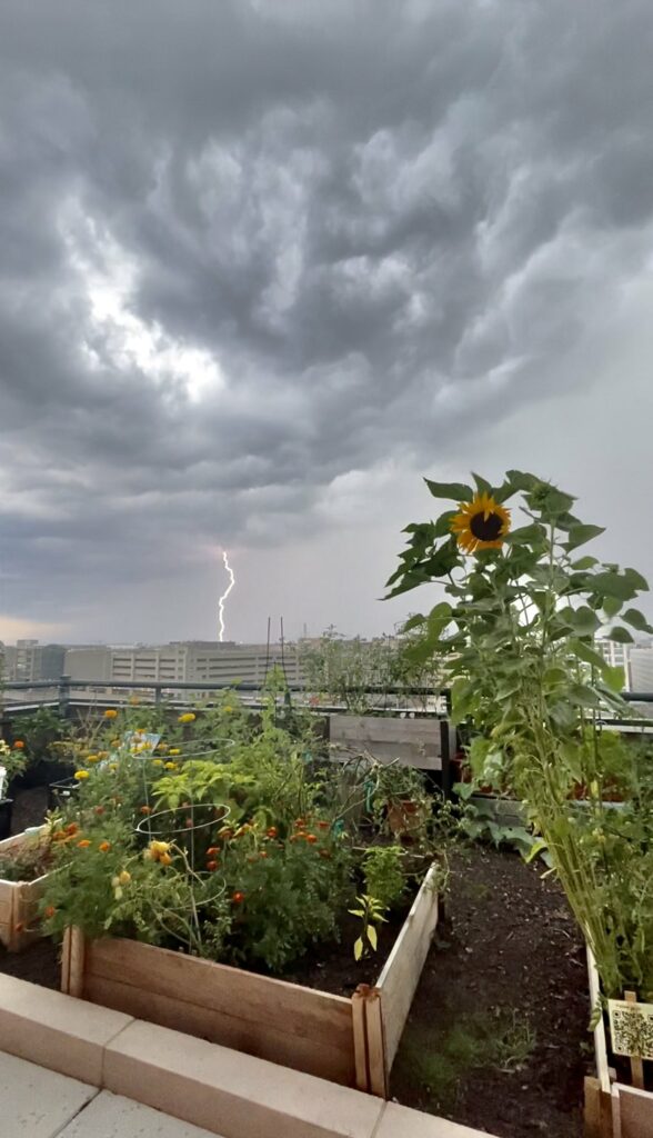
photo by Stephanie Rieger
Fortunately restored now but at one point Pepco reported 3,301 customers had lost power yesterday.
From the National Weather Service:
“Hotter and more humid today, with another round of thunderstorms possible later on.” (more…)

Beautiful. Thanks to Andrei for sharing: “Now that it’s going this how much we get every morning for the next three or four weeks. All neighbors are fed (along with the squirrels).”